Saaremaa, Estonia’s largest island, invites travelers to experience a harmonious blend of untouched nature, rich history, and unique traditions.
Situated in the Baltic Sea, this picturesque island is a haven of tranquility and authenticity. It offers a distinct charm that sets it apart from mainland Europe and has diverse landscapes, from pristine beaches and dense pine forests to sprawling meadows and rugged cliffs. Its natural beauty, coupled with a vibrant cultural heritage, makes Saaremaa a destination worth exploring year-round.
Table of Contents
Geography and Size
Covering 2,673 square kilometers (1,032 square miles), Saaremaa is the largest island in Estonia and the fourth largest in the Baltic Sea. Located west of the Estonian mainland, it is part of Saare County, which includes several smaller islands such as Muhu and Abruka.
Saaremaa’s proximity to Latvia and Finland makes it easily accessible from various parts of Northern Europe. The island’s landscape is characterized by its low elevation, with its highest point, Rauni Mägi, rising just 54 meters (177 feet) above sea level.
The terrain is dotted with unique geological formations, such as limestone cliffs and karst areas, which add to Saaremaa’s allure. If you’re intrigued by the Baltic islands, consider a journey to Gotland, Sweden’s largest island, and Rügen, Germany’s largest island, where rich history and stunning landscapes create an unforgettable experience.
Baltic Islands: A Size Comparison (Table)
| Island | Size (sq km) | Size (sq mi) | Country |
|---|---|---|---|
| Gotland | 3,184 | 1,229 | Sweden |
| Funen | 2,984 | 1,152 | Denmark |
| Saaremaa | 2,673 | 1,032 | Estonia |
| Rügen | 926 | 358 | Germany |
| Zealand | 7,031 | 2,715 | Denmark |
Saaremaa’s Unique Geographical Features
Kaali Meteorite Crater
One of the island’s most remarkable landmarks is the Kaali Meteorite Crater. Estimated to have formed around 7,500 years ago, it is one of the few meteorite craters located in a populated area. The largest crater, now filled with water, is surrounded by smaller pits that testify to the force of the celestial impact.
Visitors can explore the site and learn about its significance through local legends and scientific insights. The Kaali crater has inspired myths and remains a symbol of Saaremaa’s mysterious and ancient past.
Panga Cliffs
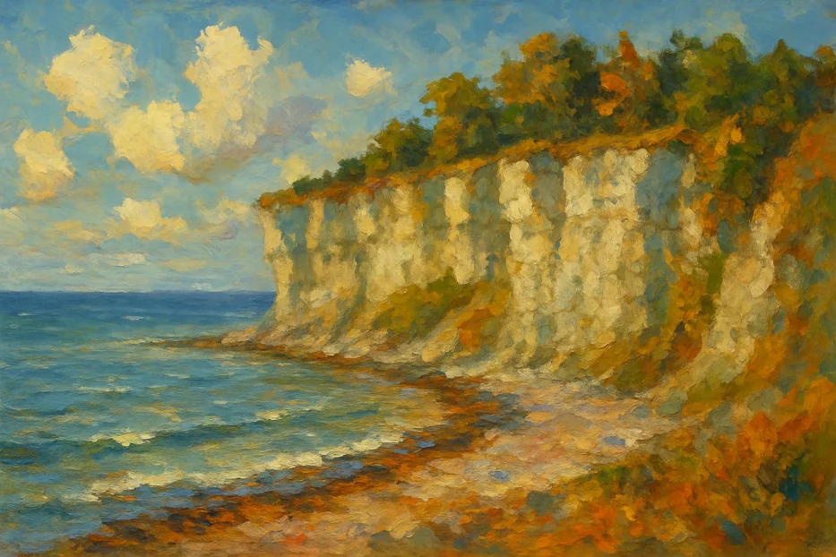
Standing 20 meters (66 feet) high, the Panga Cliffs on the northern coast offer breathtaking views of the Baltic Sea. The limestone cliffs, carved by millennia of natural forces, are a favorite spot for photographers and nature enthusiasts.

At sunset, the cliffs transform into a canvas of glowing hues, making it a must-visit for romantics and dreamers alike.
Saaremaa’s Rich Historical Legacy
Medieval Kuressaare Castle
Saaremaa’s capital, Kuressaare, is home to one of the best-preserved medieval castles in the Baltic region. The Kuressaare Castle, built in the 14th century, now houses the Saaremaa Museum, where visitors can delve into the island’s history, from Viking times to Soviet rule.
The castle’s imposing stone walls, surrounding moat, and historical exhibitions make it a fascinating destination for history buffs and architecture lovers.
Windmills of Angla
The Angla Windmill Hill is a charming site that showcases the island’s agrarian heritage. Several traditional windmills, standing tall against the countryside backdrop, offer a glimpse into Saaremaa’s rural past.
The on-site heritage museum provides hands-on experiences, such as bread-making workshops and local craft demonstrations.
Cultural Highlights
Saaremaa’s culture reflects its deep connection to nature and centuries-old traditions. Festivals, crafts, and cuisine are integral to the island’s identity.
Saaremaa Opera Days
Every summer, the island hosts the Saaremaa Opera Days, an internationally acclaimed festival that transforms the Kuressaare Castle courtyard into an enchanting open-air opera venue. Performances by world-class artists attract music lovers from near and far.
Traditional Cuisine
Local flavors are a key part of the Saaremaa experience. Highlights include:
- Rye Bread: A staple in Estonian cuisine, baked with a distinctively hearty texture and flavor.
- Smoked Fish: Freshly caught herring and other fish are smoked using traditional methods, creating a delicacy that embodies the island’s maritime culture.
- Juniper Syrup: Made from the berries of juniper trees, this sweet treat is unique to Saaremaa.
Direct Ferries
Routes, Schedules, Prices
Ferries to Estonia
Saaremaa Natural Phenomena
Baltic Sea Ice Roads
In winter, when the Baltic Sea freezes over, the island’s connection to the mainland transforms into an extraordinary experience.
Ice roads, officially marked and maintained, allow vehicles to traverse the frozen sea. This seasonal phenomenon offers a rare and thrilling adventure for those visiting during the colder months.
Flora and Fauna
Saaremaa’s rich biodiversity is a treasure for nature lovers. The island’s juniper forests, alvars (limestone grasslands), and wildflower meadows are home to rare plant species.
Birdwatchers will find a haven here, with migratory species like geese and swans flocking to the wetlands.
Practical Tips for Visiting Estonia’s Largest Island
Getting There
Saaremaa is accessible by ferry and air. Regular ferry services operate between the mainland port of Virtsu and the island of Muhu, which is connected to Saaremaa by a causeway. The ferry journey, run by TS Laevad, is a scenic 30-minute trip across the Suur Strait. For those preferring air travel, flights from Tallinn to Kuressaare Airport offer a quick and convenient option.
Getting Around
Renting a car is the most flexible way to explore Saaremaa’s hidden gems. Alternatively, bicycles are a popular choice for eco-friendly travelers, with dedicated trails crisscrossing the island. Public buses connect major towns and attractions but may have limited schedules.
Best Time to Visit
- Spring (April to June): Mild weather and blooming landscapes make this an ideal season for nature walks.
- Summer (July to August): Warm temperatures and long days are perfect for festivals, beach outings, and exploring historical sites.
- Fall (September to October): The island’s foliage turns vibrant, and the quieter atmosphere is perfect for a peaceful retreat.
- Winter (November to March): Experience the magic of ice roads and cozy up in traditional Saaremaa saunas.

