Madagascar frequently sparks interest in discussions about geography and natural landscapes, particularly when it comes to the world’s largest islands. While Madagascar holds a significant position on the global map, both in size and biodiversity, it’s not the largest island—that distinction belongs to Greenland.
Geography of Madagascar
Located in the Indian Ocean about 400 kilometers (250 miles) off Africa’s southeastern coast, Madagascar is the fourth-largest island in the world. Covering approximately 592,796 square kilometers (228,880 square miles), it falls behind Greenland, New Guinea, and Borneo.
Though not the world’s largest, Madagascar’s geographic size is still impressive, especially given its isolation.
The 5 Largest Islands in the World
| Rank | Island | Area (sq. km) | Area (sq. mi) | Country |
|---|---|---|---|---|
| 1 | Greenland | 2,166,086 | 836,330 | Denmark (Autonomous) |
| 2 | New Guinea | 785,753 | 303,381 | Indonesia, Papua New Guinea |
| 3 | Borneo | 748,168 | 288,869 | Indonesia, Malaysia, Brunei |
| 4 | Madagascar | 592,796 | 228,880 | Madagascar |
| 5 | Baffin Island | 507,451 | 195,928 | Canada |
Separated from mainland Africa by the Mozambique Channel, Madagascar has been ecologically isolated for tens of millions of years. This isolation has fostered the evolution of species found nowhere else, making it a global biodiversity hotspot. Roughly 90% of Madagascar’s species are endemic, evolving uniquely on this island.
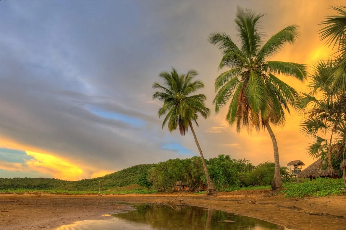
The island’s landscapes are strikingly diverse. The central highlands rise to nearly 2,876 meters (9,436 feet) at Maromokotro, Madagascar’s highest peak. Dense rainforests stretch along the eastern coast, nourished by warm Indian Ocean winds, while the western side features drier regions and unique features like the Avenue of the Baobabs.
Madagascar’s rivers and lakes play crucial roles in supporting both agriculture and the native wildlife. With its mineral-rich soil, the varied terrain has allowed agriculture, especially rice cultivation, to thrive for centuries.